Knowing your home’s elevation is one important factor in better understanding your flood risk.

What is an elevation certificate?
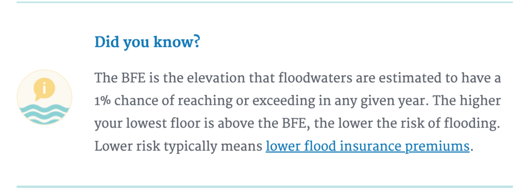
An elevation certificate (EC) is a document stating the elevation of your home. It includes information detailing the location and building characteristics of your home, your base flood elevation (BFE), and also your flood zone.

Is an elevation certificate required for insurance?
Under the new Risk Rating 2.0 system, an elevation certificate is no longer required to purchase coverage of FEMA’s National Flood Insurance Program. However, a property owner may choose to provide an EC and submit it to their agent to determine if it will lower their cost of insurance.
Chris Heidrick of Heidrick Insurance has pointed out that under Risk Rating 2.0, a buyer’s flood policy can be rated from the seller’s policy, which can avoid the need for a flood policy to be assumed. So, the seller’s flood insurance declarations page can be even more valuable than an EC in obtaining the lowest possible premium for flood insurance.
Your home might have an EC on file
Did you know the City of Sanibel has 1,809 elevation certificates on file? Click here to see if your EC is already on file.
You can also search for your property using the Florida Florida Division of Emergency Management site by clicking here. Or click here to search the archives.

Who conducts an elevation survey?
If your home doesn’t have an EC, you can order an elevation survey. Elevation Certificates can be prepared by a licensed land surveyor, professional engineer, or certified architect who is authorized by law to certify elevation information. For a fee, these professionals can complete an EC for you.
Related Blogs:
2022 Updated FEMA Flood Maps on Sanibel Island
Flood Insurance on Sanibel Island
FEMA 50% Rule Sanibel Island
